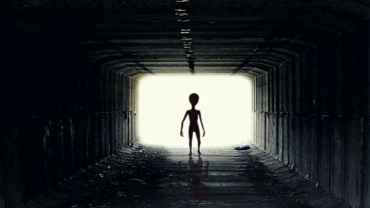
Aliens have not only visited Earth, but artifacts from them are in an ocean, according to an unidentified flying object (UFO) enthusiast.
A circle visible on the ocean floor in Google Earth is irrefutable proof of alien life, said Scott C. Waring of the website UFO Sightings Daily, according to Hot Hardware.
IFL Science reported that Waring stated that “this disk at the bottom of the ocean is 100% proof of ancient aliens and the technology is just sitting there on the bottom of the ocean.” Measuring 4.2 miles in diameter, the circle sits 352 miles off the coast of Lima, Peru.
Waring, who also spends much of his time digging through images from NASA and other space agencies, spotted the circle while perusing Google Earth. The circle is related to the Nazca Lines, which aregeoglyphs that are believed to have been made between 500 BC and 500 AD, in the Nazca Desert due to their geographic proximity, according to his first theory. The purpose of the Nazca Lines is still not known, but some experts said that the lines might have do something with astronomy or cosmology.
Those who created the Nazca Lines mistakenly believed that aliens were Gods, insisted Waring, who contended that it is “obvious” that the mysterious circle and the Nazca Lines are “connected.” The circle is related to the lost city of Atlantis, according to his second theory. The circle is the “right size and shape to be the lost city of Atlantis," he said. Atlantis was possibly an alien ship that floated on the ocean and later submerged for reasons that are not known, he argued.
According to Live Science, the unusual patterns on the seabed can be seen on Google Earth, but it’s little more than a digital artifact. What is left behind by the way data is gathered, processed, and clubbed with other data sets. It means that the patterns and shapes that one sees on the seabed in Google Earth are not the correct representation of the seafloor.
Scripps Institution of Oceanography, which creates the base map of the ocean, uses satellite measurements of gravity to provide a map that sometimes struggles to depict details. Google also depends on “ships equipped with sonar that mapped the ocean floor along their route” to help with these details. But the data given by the institution and the ships do not always align, so it is not uncommon for there to be “hills” or “dimples” on the map like the circle spotted by Waring.

© 2025 Latin Times. All rights reserved. Do not reproduce without permission.


