
As Hurricane Milton continues to approach Florida's west coast, the mayor of Tampa Bay issued a chilling warning to residents who have not evacuated the city, set to be among the places hit the hardest by the storm.
"I've said many times that [if] you want to pick a fight with Mother Nature, she's winning 100 percent of the time," Castor said on Tuesday. She went on to recall that storm surges could be above 12 feet, adding that "individuals that are in these, say in a single-story home. Twelve feet is above that house. So, if you're in it, you know, basically that's the coffin you're in."
Milton is expected to make landfall on Wednesday night. The National Hurricane Center is already warning people in the west coast to "stay inside and away from windows." "Devastating hurricane-force winds are expected along portions of the west coast of Florida," the agency added, saying that Milton will likely remain a hurricane while it crosses the state.
The storm is expected to continue bringing heavy rainfall on Thursday, increasing the risk of "catastrophic and life-threatening flash and urban flooding along with moderate to major river flooding, especially in areas where coastal and inland flooding combine to increase the overall flood threat."
Milton intensified to a Category 5 storm twice over the week, raising questions about how strong it could become. The National Hurricane Center reported sustained winds reaching 180 mph, pushing Milton towards what meteorologists refer to as Maximum Potential Intensity (MPI), which is estimated at around 195 mph with an atmospheric pressure near 900 MB.
Milton's rapid strengthening can be attributed to its relatively small size, allowing for swift intensification. As it moves across the Gulf, it is expected to do so quickly, limiting its time over the warm surface waters. One significant factor that could impact Milton's intensity is an eyewall replacement cycle, during which a larger secondary eye forms, temporarily reducing wind speeds while expanding the storm's wind field.
Climate change plays a role in the potential upper limits for storms, as rising sea surface temperatures can lead to stronger hurricanes. The latest report from the Intergovernmental Panel on Climate Change indicates a high confidence among researchers that peak wind speeds for the strongest storms will increase with global warming.
While the number of storms may decrease, the intensity of those that do form is expected to rise. Historical records show that significant hurricanes have impacted the continental U.S., with Hurricane Patricia in 2015 recording the highest sustained winds of any hurricane, reaching 215 mph.
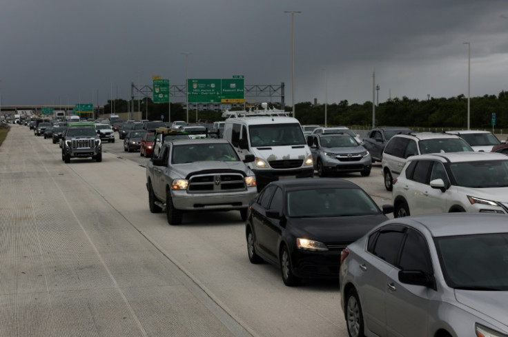
As residents continue to evacuate, Governor Ron DeSantis assured residents that there is no fuel shortage, as the state has been stockpiling gasoline ahead of the storm.
"The sheer bulk of this is simply people getting out of harm's way," Patrick De Haan, head of analysis at GasBuddy, told CNBC. He added that gas prices should remain stable as the storm isn't expected to effect gasoline industry infrastructure.
Meanwhile, the Florida Attorney General's office is investigating over 160 cases of price gouging amid the chaos. The average price for a gallon of gas in Florida is currently $3.103, according to AAA.


© 2025 Latin Times. All rights reserved. Do not reproduce without permission.


