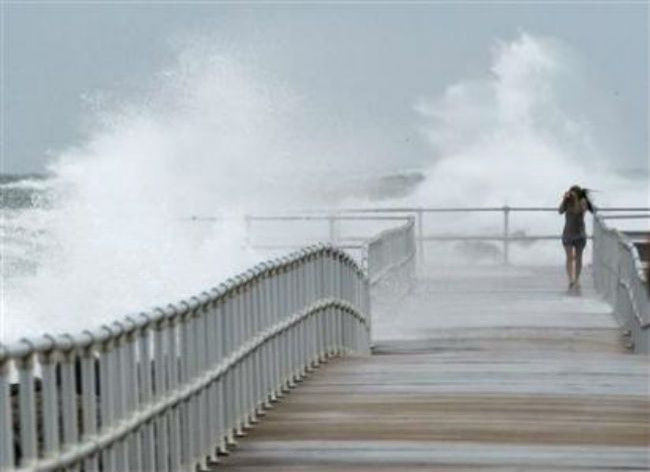
Tropical cyclone Sandy revved back up to hurricane strength on Saturday as it churned toward the U.S. northeast coast where it threatens to become one of the worst storms in decades.
The late-season storm has been dubbed "Frankenstorm" by some weather watchers because it will combine elements of a tropical cyclone and a winter storm and is forecast to reach the U.S. coast close to Halloween.
Forecast models show it will have all the ingredients to morph into a so-called "super storm."
Governors in states along the U.S. East Coast declared emergencies on Friday, with officials urging residents to stock up on food, water and batteries.
The U.S. Navy ordered all ships in the Norfolk, Virginia, area, including a nuclear-powered aircraft carrier, out to sea to ride out the approaching storm.
"We're expecting a large, large storm," said Louis Uccellini, director of the National Oceanic and Atmospheric Administration's Center for Environmental Prediction. "The circulation of this storm as it approaches the coast could cover about the eastern third of the United States."
Sandy battered the Bahamas southeast of Florida on Friday after causing widespread destruction in eastern Cuba a day earlier. The storm was expected to crawl northward on Saturday and Sunday and then turn toward the U.S. coast.
Sandy's powerful winds and rains were blamed for 41 deaths in several Caribbean countries, including 11 in Cuba. Most were killed by falling trees and building collapses.
On its current projected track, Sandy could make U.S. landfall on Monday night or Tuesday somewhere between North Carolina and southern New England, forecasters said.
The storm has the potential to cause widespread power outages and to unleash flooding and even dump snow as far inland as Ohio. It also threatens to disrupt air travel along the U.S. East Coast.
At 8 a.m. EDT (1200 GMT), Sandy was about 335 miles southeast of Charleston, South Carolina, and packing top sustained winds of 75 miles per hour, the U.S. National Hurricane Center.
It had earlier dropped just below hurricane strength but little overall change on strength was expected ahead of its anticipated U.S. landfall early next week, the Miami-based Hurricane Center said.
The storm picked up a little forward speed overnight but was still moving slowly over the Atlantic at 10 mph.
PRESIDENTIAL ELECTION
The massive storm has continued to grow in size with tropical force winds extending 450 miles from its center, government forecasters said.
Coming in the final weeks before the U.S. presidential election on November 6, the storm was presenting a challenge to the campaigns of U.S. President Barack Obama and his Republican challenger Mitt Romney.
Romney canceled a rally scheduled for Sunday evening in Virginia Beach, Virginia, while Obama's re-election campaign announced that Vice President Joe Biden had also canceled a Saturday trip to that city.
Ahead of the election, millions of Americans are taking advantage of early voting arrangements to cast their ballots. State officials said they had put in place contingency plans in case Sandy caused extended power outages or other problems that could disrupt voting.
In New York City, officials were considering shutting down the country's largest mass transit system because they were worried the storm's impact could cause flooding or high winds that might endanger subways and buses.
Much of Florida's northeast coast was under a tropical storm warning and storm warnings and watches extended up the coast through most of South Carolina and North Carolina.
Along North Carolina's Outer Banks, which jut out into the Atlantic, vacationers in large camper trailers and motor homes streamed off the barrier islands.
Many forecasters are warning that Sandy could be more destructive than last year's Hurricane Irene, which caused billions of dollars in damage across the U.S. Northeast.
© Thomson Reuters.


