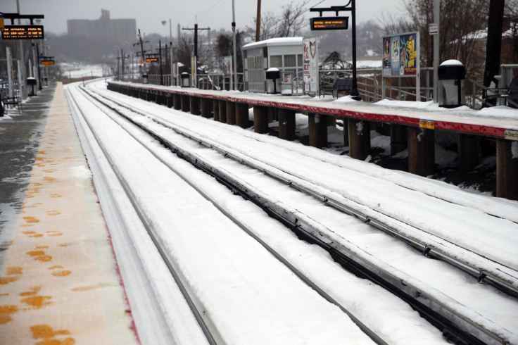
NYC has faced some pretty intense weather today as Winter Storm Pax continues its snowpocalypse across the United States. Reports suggest that a second, possibly even more intense storm will move up the East Coast as the evening porgresses, bringing even more hazardous conditions. Models indicate that the cold air bands moving north will bring significant snow, as opposed to the sleet that has been witnessed throughout the day. New York could well end up under a foot of snow.
New York City faced the brunt of the storm this morning as the cold bands circled of midtown Manhattan at rush hour. Snow piled throughout the morning, with some parts of the city receiving almost ten inches of snow. Following the intense blizzard-like conditions, the temperature rose, creating a heavy fall of sleet acros the metropolitan area. There is most likely a 50 percent chance that NYC will receive another four to eight inches of snow overnight.
Google Public Alerts issued a Winter Storm Warning for the entire New York Metropolitan area with "additional snow accumulation of 3 to 8 inches, along with a trace of ice" says the warning. The total snow accumulation will be of 14 to 20 inches while winds will reach 20 to 30 mph with gusts up to 45 mph. Temperatures are set to drop to the low 30s. "Light rain late this afternoon should transition to sleet and snow this evening, then change to all snow by late this evening and become heavy at times."
Google Public Alerts offers the following recommendation: "Winter Storm Warning means severe winter weather conditions are expected or occurring. Significant amounts of snow and blowing snow are forecast that will make travel dangerous. Only Travel in an emergency. If you must travel, keep an extra flashlight, food, and water in your vehicle in case of an emergency."


© 2025 Latin Times. All rights reserved. Do not reproduce without permission.


