Hurricane Sandy swelled into a serious threat to much of the U.S. East Coast on Thursday after hammering Cuba's second-largest city and taking aim at the Bahamas, U.S. forecasters said.
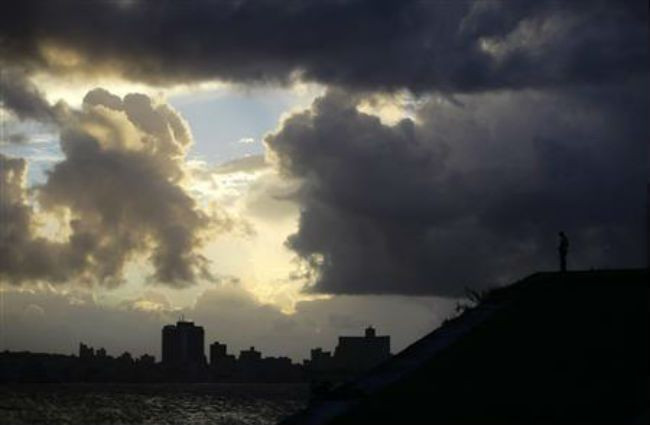
Strengthening rapidly after tearing into Jamaica and crossing the warm Caribbean Sea, Sandy hit southeastern Cuba early on Thursday with 105-mph (169-kph) winds that cut power and toppled trees across the city of Santiago de Cuba.
Reports from the city of 500,000 people, about 470 miles southeast of Havana, indicated that many homes had been damaged or destroyed. According to one Cuban radio report, at least one person was killed, bringing the death toll to at least three, including fatalities in Jamaica and Haiti.
U.S. government forecasters warned that much of the U.S. East Coast could get swiped by Sandy, with flooding, heavy rains and high winds beginning Thursday in Florida. By early next week - amid final preparations for the crucial November 6 presidential election - the storm could hit an area of New England where Hurricane Irene caused severe damage last year.
Forecasters said the hardest-hit areas could span anywhere from the coastal Carolinas up to Maine, but New York City and the Boston area were also both potentially in harm's way.
"It is likely that significant impacts will be felt over portions of the U.S. East Coast through the weekend and into early next week," the National Hurricane Center said.
"HIGH-IMPACT EVENT"
"It's going to be a high-impact event," said Bob Oravec, a lead forecaster with the National Oceanic and Atmospheric Administration's Hydro-Meteorological Prediction Center in College Park, Maryland.
"It has the potential to be a very significant storm with respect to coastal flooding, depending on exactly where it comes in. Power outages are definitely a big threat," he said.
In Cuba, communications were difficult hours after the eye of the dangerous Category 2 hurricane came ashore just west of Santiago de Cuba with waves up to 29 feet and a 6-foot (2-meter) storm surge that caused power outages and extensive coastal flooding, the Cuban weather service said.
The storm and driving rains triggered widespread flooding across the southwestern half of Haiti, with reports of life-threatening landslides in some areas.
At 2 p.m. EDT (1800 GMT), the Miami-based National Hurricane Center said Sandy was about 25 miles east of Great Exuma island in the Bahamas and packing maximum sustained winds of 105 mph.
It was still a Category 2 storm on the Saffir-Simpson scale of hurricane intensity, but some weakening was expected over the next 48 hours as Sandy moved through the Bahamas island chain.
High winds, rains and pounding surf are expected across parts of Florida's Atlantic coast, with the biggest impact starting on Thursday night and lasting through Friday.
Unlike Irene, which caused billions of dollars in damage as it lashed the U.S. Northeast in August last year, Sandy is forecast to drop below hurricane strength before making U.S. landfall. But it will be moving slower than Irene did, likely bringing more rain and increasing its potential for damage, weather forecasters said.
At $4.3 billion in losses, Irene ranks as one of the 10 costliest hurricanes, adjusted for inflation and excluding federally insured damage, according to the Insurance Information Institute, an industry group.
"A BILLION-DOLLAR DISASTER"
Jeff Masters, a hurricane specialist and blogger with private forecaster Weather Underground (www.wunderground.com), said a landfall by Sandy on Monday along the U.S. Mid-Atlantic Coast could trigger "a billion-dollar disaster."
"In this scenario, Sandy would be able to bring sustained winds near hurricane force over a wide stretch of heavily populated coast," he said.
Alternately, Masters said, some computer forecast models indicated Sandy had the potential to unleash "the heaviest October rains ever reported in the northeast U.S., Nova Scotia and New Brunswick."
Oravec said there could be tropical-storm to hurricane-force winds on the coast and added: "Coastal flooding will be a big concern."
A Category 2 storm has winds between 96 and 110 mph, meaning that Sandy was still within a whisker of becoming a Category 3 hurricane as it bore down on the Bahamas.
Bahamians formed long lines at food stores and gas stations on Thursday as they made last-minute preparations for Sandy.
Prime Minister Perry Christie activated the government's emergency management crews as the 350,000 residents across the 700-island chain braced for a storm more powerful than initially projected.
Lynden Pindling International Airport, the main gateway to the Bahamas and its capital, Nassau, was closed, affecting some 6,700 passengers.
"I'd be surprised if it becomes a significant loss for us, but we're not counting our chickens, as these things change at short notice," said Tom Duff, general manager of Insurance Company of the Bahamas, a leading Nassau-based property and casualty insurer.
A tropical storm warning along the Florida east coast has been extended northward to the state's Flagler Beach, while a tropical storm watch has been issued for the northeastern Florida coast from Fernandina Beach to north of Flagler Beach.
Sandy is expected to hit the United States during a full moon, increasing the flood potential, since tides will be at or near their highest.
"There's a big potential for huge effects from the storm," said NOAA's Oravec.
"We can't rule out the potential for snow eventually as we go into the week and the storm moves inland," he said.
© Thomson Reuters.


