Early in the hours of Monday morning, Hurricane Raymond strengthened to a Category 3 storm as it crawled towards the Mexican Coast. The National Hurricane Center released a Public Advisory at 8 AM this morning stating 'Major Hurrican Raymond Stationary South of Mexico' although they admit that "Raymond could mvoe closer to the coast of Mexico within the hurricane warning area later today and tuesday." The NHC issued a Hurricane Warning for the area between Tecpan de Galeana to Lazaro Cardenas and a Hurricane Watch for the area surrounding Acapulco. Maximum sustained winds are near 120 MPH with higher gusts and is expected to strengthen over the next day or so. CBS reports that Mexican authorities have deployed emergencye crews and are considering evacuating low-lying areas.
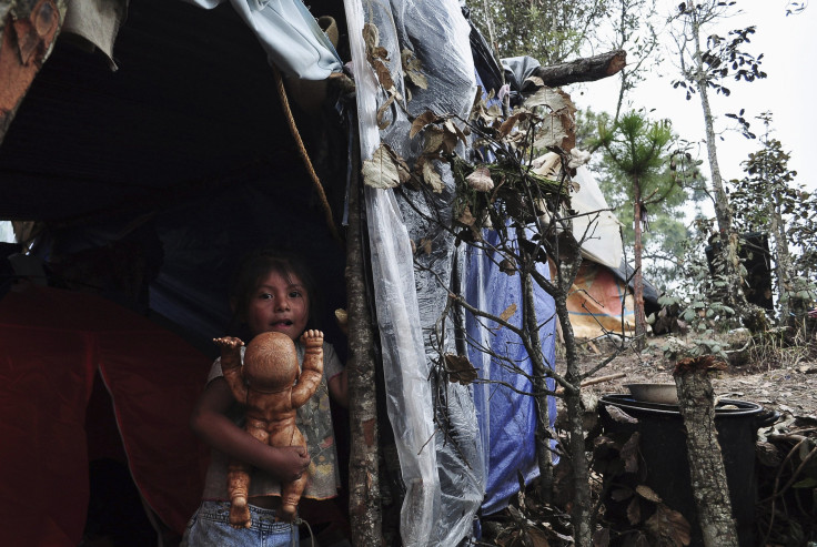
Guerrero is still recovering from the the devastating effects of Manuel which caused close to 120 deaths in September. Dams are still well over capacity, and with the heavy torrential rain expected, the possibility of further flooding is imminents. Seaports in the state have been closed and many schools in coastal areas have been closed. Residents have been urged to take precaution, though many have still not returned home after the devastating damages of Manuel. The storm caused over $6 billion in damages and has devastated the already suffering tourism industry of the state. The NHC reports that hurricane conditions may begin as early as tonight, bringing a storm surge that "is expected to produce significant coastal flooding in areas of onshore flow." The surge "will be accompanied by large and destructive waves." Rainfall is expected to be up to 8 inches in parts of the state.
© 2025 Latin Times. All rights reserved. Do not reproduce without permission.


